
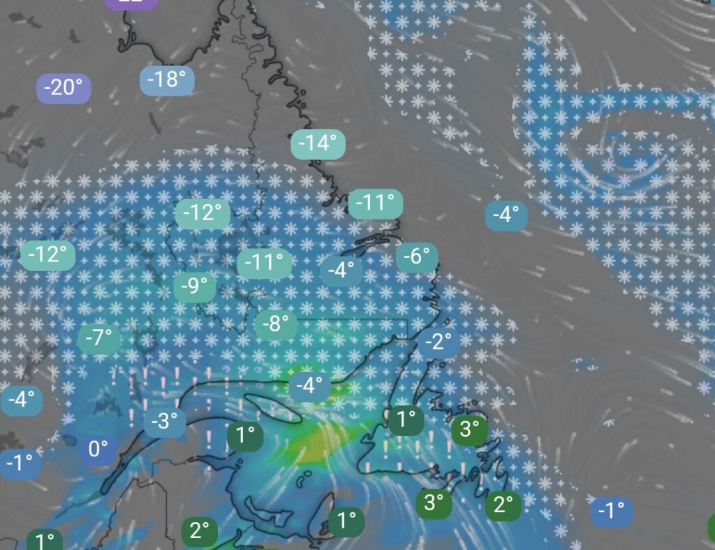
The next significant weather system is set to impact Newfoundland and Labrador starting Monday, bringing a mix of snow, ice, and rain across the province.
Storm Timeline and Impact
Monday:
- Snow spreads across Newfoundland and Labrador through the day, becoming widespread by the evening.
- Southern and eastern Newfoundland will see snow transition to ice pellets and freezing rain before changing to rain by Monday night.
- Central and western Newfoundland will experience a similar transition overnight, with snow giving way to mixed precipitation and then rain.
- The Great Northern Peninsula will follow this pattern, seeing changes by Tuesday morning.
Tuesday:
- Snow will continue for much of Labrador throughout the day.
- The Labrador Straits may see snow transition to showers.
- Snow will taper off in Labrador by Tuesday evening and night.
- Rain across Newfoundland is expected to end by Tuesday overnight.
Potential Hazards
- Snow accumulation may lead to difficult travel conditions.
- Freezing rain could result in slippery roads and possible power outages.
- Rainfall combined with melting snow may lead to localized flooding in some areas.
Residents are advised to stay updated with the latest weather alerts and be prepared for changing conditions. Travelers should exercise caution and plan accordingly as road conditions will vary across the province.
Stay safe and stay informed with #NLwx updates.