
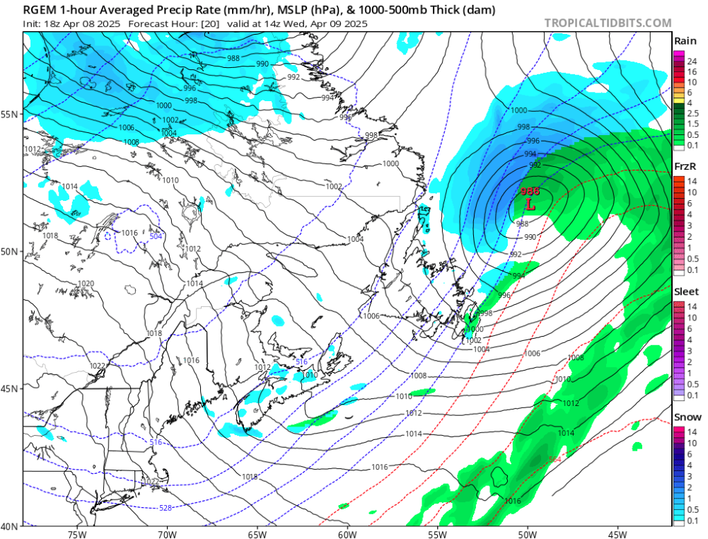
A mix of spring transition conditions will be felt across Newfoundland and Labrador on Wednesday, with unsettled weather for much of the island and colder, more stable conditions in Labrador. Here’s what to expect across key regions of the province:
St. John’s
Expect a grey and windy day in the capital. Low clouds will dominate with a high near 4°C and a low of -2°C. Winds will be gusty throughout the day, making it feel cooler than the thermometer suggests.
Corner Brook
Snow will start the day, with 1–3 cm expected before tapering off. The afternoon brings some sun breaking through the clouds, but chilly winds will keep the high to about 1°C. Temperatures will fall to -4°C overnight.
Gander
A wintry mix in the morning—snow and sleet turning to flurries—will leave behind about 1 cm of new accumulation. Skies will remain mostly cloudy, with highs near 3°C and a low of -3°C.
Happy Valley-Goose Bay
More settled conditions here: partly sunny skies are expected, with a daytime high near 2°C. Overnight lows will dip to around -9°C, but winds will be lighter compared to the island.
Labrador City
Cold and overcast conditions continue in western Labrador. Expect a brisk high of -8°C and a low of -16°C. No significant precipitation is forecast, but it will feel quite wintry throughout the day.
Conclusion
Newfoundland will see a mix of wind, flurries, and chilly temperatures, while Labrador remains cold but mostly calm. If you’re traveling or working outdoors, dress in layers and be ready for rapidly changing conditions, especially on the island.