Rainfall and Wind Warnings
According to Environment Canada, heavy rain is expected to begin on Friday morning, with amounts ranging from 15 to 25 millimeters in some areas. The rain is anticipated to continue into Saturday, with a 60% chance of showers persisting through the weekend. Fog patches are also expected to develop, reducing visibility and potentially complicating travel conditions.
In addition to the rainfall, strong winds are forecasted to affect marine areas. A strong wind warning is in effect for the Cabot Strait – northern half, with winds of 20 to 33 knots expected to occur. Residents and mariners are advised to monitor the latest marine forecasts and exercise caution.
Regional Impacts
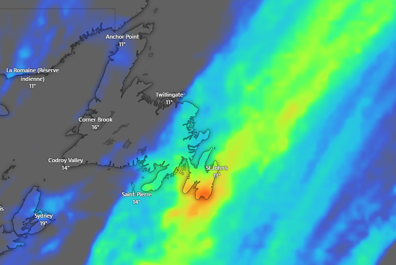
In St. John’s, the provincial capital, the forecast indicates a 40% chance of showers or drizzle this morning, with fog patches dissipating near noon. Tonight, showers are expected to begin, with a risk of a thundershower before morning. The rain is expected to continue into Friday, with amounts ranging from 15 to 25 millimeters. Fog patches are also anticipated, along with winds gusting to 40 km/h.
Elsewhere on the island, regions such as the Burin Peninsula and Connaigre are also expected to experience periods of rain, with amounts ranging from 5 to 10 millimeters. The risk of thundershowers is present in the morning and early afternoon on Friday.
Safety Precautions
Residents are urged to stay informed by monitoring local weather updates and advisories. Travelers should exercise caution, especially in areas prone to flooding or reduced visibility due to fog. Mariners are advised to heed marine warnings and take necessary precautions.