
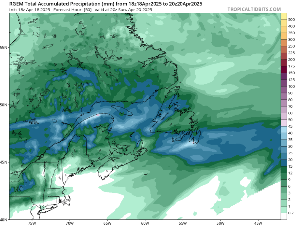
A potent spring weather system is set to arrive in Newfoundland and southeastern Labrador this weekend, bringing a messy mix of rain, snow, and gusty winds to the region.
Rain will begin across most of the island on Saturday evening and night, with rainfall intensifying throughout Sunday. Meanwhile, southeastern Labrador is expected to see snow from the outset as colder temperatures remain locked in.
As colder air wraps in on Sunday evening, rain will transition to snow for the Great Northern Peninsula, Baie Verte Peninsula, western Newfoundland, and the Bay of Exploits. Snow will continue through Sunday night and persist into Monday afternoon.
Eastern Newfoundland will remain mainly rainy through Sunday, with precipitation tapering to showers overnight and mixing with flurries into Monday.
Preliminary forecasts suggest rainfall totals between 10 and 30 mm for most of the island. Snowfall amounts are expected to reach 15 to 20 cm or more in the Baie Verte Peninsula, Great Northern Peninsula, Bay of Exploits, and southeastern Labrador. Some areas, particularly in higher terrain, could see 25 to 30+ cm of snow.
The system will taper off across most areas by Monday afternoon, though scattered flurries and showers—accompanied by gusty northerly winds—are expected to linger through Monday evening.
Travelers should prepare for changing road conditions, especially in areas expecting snow. Stay tuned to local forecasts for updated warnings and advisories as the system develops.